Explore Our Courses

Tools, Insights, and Conversations for Transformative Higher Ed
Our online learning series offers engaging, accessible sessions designed for academic leaders, faculty, and staff navigating change in higher education. From data-informed decision-making and curriculum design to GIS mapping, assessment strategies, and interim leadership best practices, each session blends practical tools with human-centered insight. Join us to learn, question, and build alongside a community of curious, mission-driven educators.
Mapping Insight:
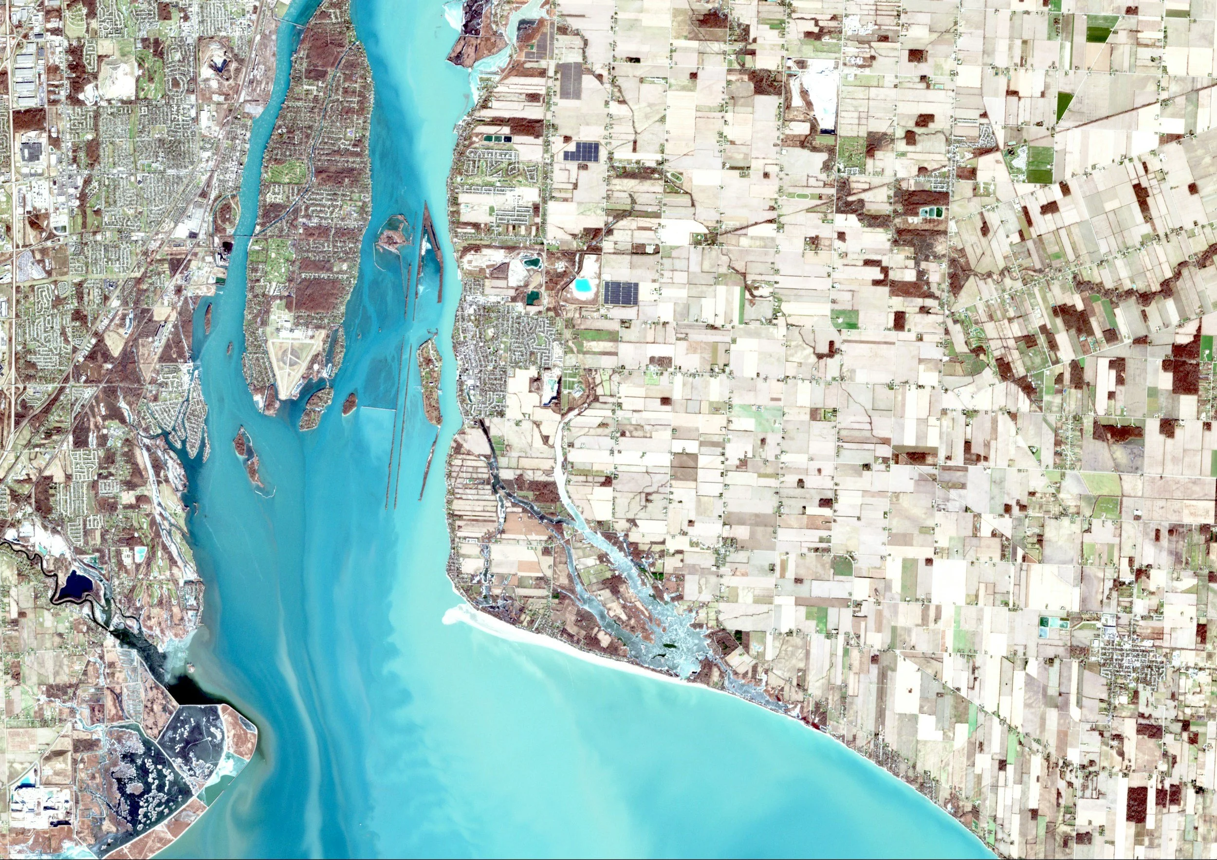
Spatial Thinking in Higher Education
A Three-Part Course on GIS, Visualization, and Predictive Strategy

Course Overview:
In an era where institutional decisions must be both data-informed and equity-driven, spatial thinking offers a powerful lens for understanding patterns, gaps, and opportunities across the educational landscape. Mapping Insight: Spatial Thinking in Higher Education is a three-lesson course designed for institutional researchers, academic planners, deans, and other campus leaders who want to integrate Geographic Information Systems (GIS) and predictive analytics into their strategic toolbox.

Through hands-on exploration, real-world case studies, and critical discussion, participants will learn how to use spatial data to visualize access and enrollment trends, make resource decisions, and build predictive models that support mission-aligned planning. Whether you're new to GIS or looking to deepen your practice, this course centers human insight alongside technical tools, helping you map what matters most.

What You'll Learn:

How spatial thinking can transform institutional research and planning
How to collect, clean, and visualize data using GIS tools like ArcGIS, QGIS, or Tableau
How to build simple, compelling maps that support strategic communication
How to use spatial data in forecasting enrollment, program demand, or student outcomes
How to apply predictive analytics ethically and with a focus on equity and inclusion

Course Format:
The course includes three 90-minute sessions, offered synchronously or asynchronously, with optional follow-up labs or one-on-one consultations. Participants will have access to template datasets, GIS tool recommendations, and sample case studies for continued exploration.

Who Should Enroll:
This course is designed for:
Institutional researchers seeking new methods of analysis and visualization
Strategic enrollment or planning professionals
Deans and department chairs involved in resource or program planning
Faculty or staff engaged in data-informed equity initiatives
No prior GIS experience is required—just curiosity, commitment, and a desire to turn data into meaningful insight.
Course Details
Why GIS?
IN THIS LESSON
This lesson introduces the core concepts of spatial thinking and demonstrates the relevance of GIS to higher education strategy. Participants will explore how geography intersects with equity, access, and institutional planning.
TOPICS COVERED
The Basics of Spatial Thinking:
Understanding location, distance, and relationship as analytic dimensions in higher ed contexts
Use Cases in Higher Education:
Mapping student access by ZIP code or transit line
Visualizing recruitment pipelines and yield patterns
Allocating advising, facilities, or instructional resources based on spatial need
Getting Started with GIS Tools:
Overview of accessible platforms: ArcGIS Online, QGIS, Tableau Maps
Public data sources: U.S. Census, IPEDS, local education data
Internal data: enrollment, financial aid, graduation rates, geographic origin of students
Case Studies:
Real-world examples of spatial analysis influencing campus strategy, DEI initiatives, and policy decisions
LEARNING OUTCOMES
Participants will leave with a conceptual understanding of GIS in higher education and a toolkit of real-world examples to inspire use on their campus.
Building Your First Map
IN THIS LESSON
This hands-on session guides participants through the process of creating a basic GIS map tailored to institutional questions, using layered datasets to tell a spatial story.
TOPICS COVERED
Data Preparation:
Cleaning and organizing institutional and public datasets
Addressing common challenges (e.g., mismatched formats, missing geolocation data)
Layering Data Effectively:
Combining student demographics, academic metrics, and geographic information
Adding institutional layers (campus zones, facilities, community assets)
Techniques for highlighting disparities or opportunities
Visual Storytelling Techniques:
Choosing effective map formats and symbology
Adding narrative elements (captions, tooltips, dashboards)
Accessibility and readability considerations
Workshop Component:
Participants will build a basic, custom map using an open-source or online GIS tool (e.g., QGIS, ArcGIS Online, or Tableau Public).
LEARNING OUTCOMES
By the end of the session, each participant will have created and shared a simple GIS map tailored to a strategic question at their institution.

Predictive Analytics in Context
IN THIS LESSON
This session expands from visualization into prediction, showing how spatial data can be used to model trends and support institutional forecasting. It also addresses the ethical considerations of predictive modeling in human-centered systems.
TOPICS COVERED
Core Concepts in Predictive Modeling:
What predictive analytics can—and can’t—do in higher ed
Types of models: regression, decision trees, clustering
Inputs and outputs relevant to enrollment, retention, or program viability
Time & Trend Analysis:
Using historical data to forecast future enrollment by region or program
Spatially-informed projections for campus planning or regional outreach
Ethics and Cautions:
Avoiding algorithmic bias and protecting student privacy
Engaging community stakeholders in the interpretation and application of predictions
Designing models that support equity, not just efficiency
Application Exercise:
Participants will walk through a simplified modeling scenario using real or sample data, exploring how spatial patterns might affect future institutional decisions.
LEARNING OUTCOMES
Participants will understand how to responsibly apply predictive analytics in higher education and integrate spatial insights into strategic planning processes.

Get In Touch
Interested in learning more?
Fill out this information form to receive a link to a recording of our information session and to be added to the waitlist for our September and future sessions.